Project Description • Design/Final Plans • Timing • Environmental Review • Permits/Agreements • Photos
Project Description
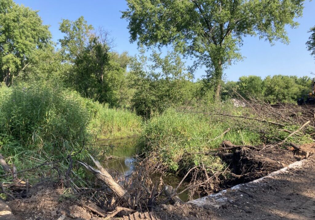
Brown's Creek Watershed District has identified a project that will improve the trout stream habitat in Brown’s Creek in Stillwater, which is currently listed as impaired for lack of cold water fish and macroinvertebrates.
- Project Description and Map - April 2024
- Proposed Project Summary Sept 2023
- Existing and Proposed Conditions
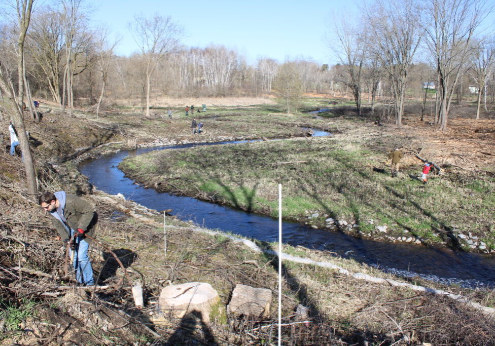
BCWD has been working closely with Minnesota Department of Natural Resources (Waters, Fisheries, and Trails) and the city of Stillwater to identify opportunities to improve the trout stream habitat in Brown’s Creek. A feasibility study shows restoring the existing 2,000 linear feet of Brown’s Creek from McKusick Road just upstream of Brown’s Creek Park to just downstream of the Brown’s Creek State Trail would:
- Reduce bank erosion and subsequent sediment & nutrient loading to the creek and the St. Croix River
- Improve Habitat:
- Rock riffles will increase fish spawning opportunities and provide stable refuge for macroinvertebrates
- The project will increase the number and depth of pools that will in turn provide thermal refuge for aquatic biota during the summer months and provide overwintering habitat for fish and amphibians
- Instream woody structure will provide fish and macroinvertebrate habitat and also protect streambanks from erosion.
- Native seeding will increase pollinator habitat, diversity and extent of native vegetation over invasive species such as common buckthorn, reed canary grass, and garlic mustard.
- Reconnected floodplain will improve wetland hydrology and help rehabilitate native riparian vegetation.
- Establishment of brush piles and snag trees will provide refuge for a variety of non-game species such as small mammals, reptiles, and birds.
- Site access to the creek will include an ADA trail “spur” to create an access to Brown’s Creek from the state trail.
This project began with tree and shrub removal in early 2024, stream restoration in summer 2024, continued invasive species management in fall 2024, and replanting in spring 2025.
Proposed Design
BCWD held a public hearing and ordered the final design for the project at the September 2023 regular board meeting. The final plan is below:
The access from the south side of Brown's Creek State Trail has been changed to steps to stabilize the slopes that has been informally used by foot traffic to access the creek. A fully accessible trail and fishing access has been added on the north side of the trail off of Neal Avenue to an area more suitable for fishing. This improvements will be completed in 2025.
- Southern Access from Brown's Creek State Trail - Stone Steps and Handrail
- Northern Access from Neal Avenue - ADA accessible path and fishing platform
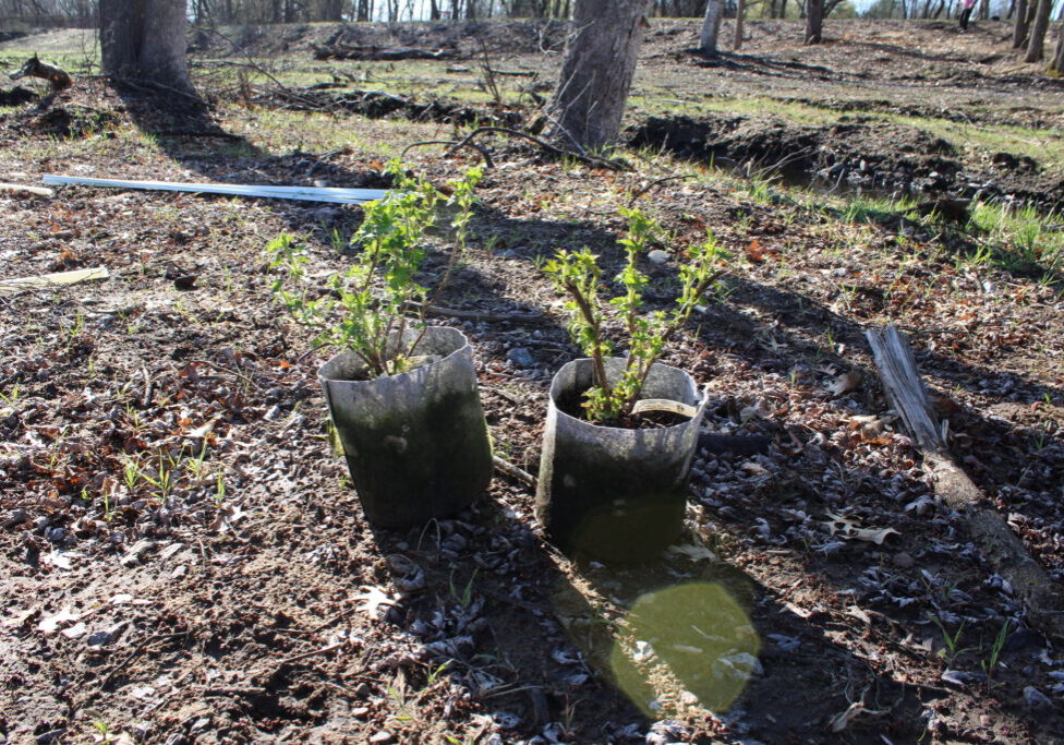
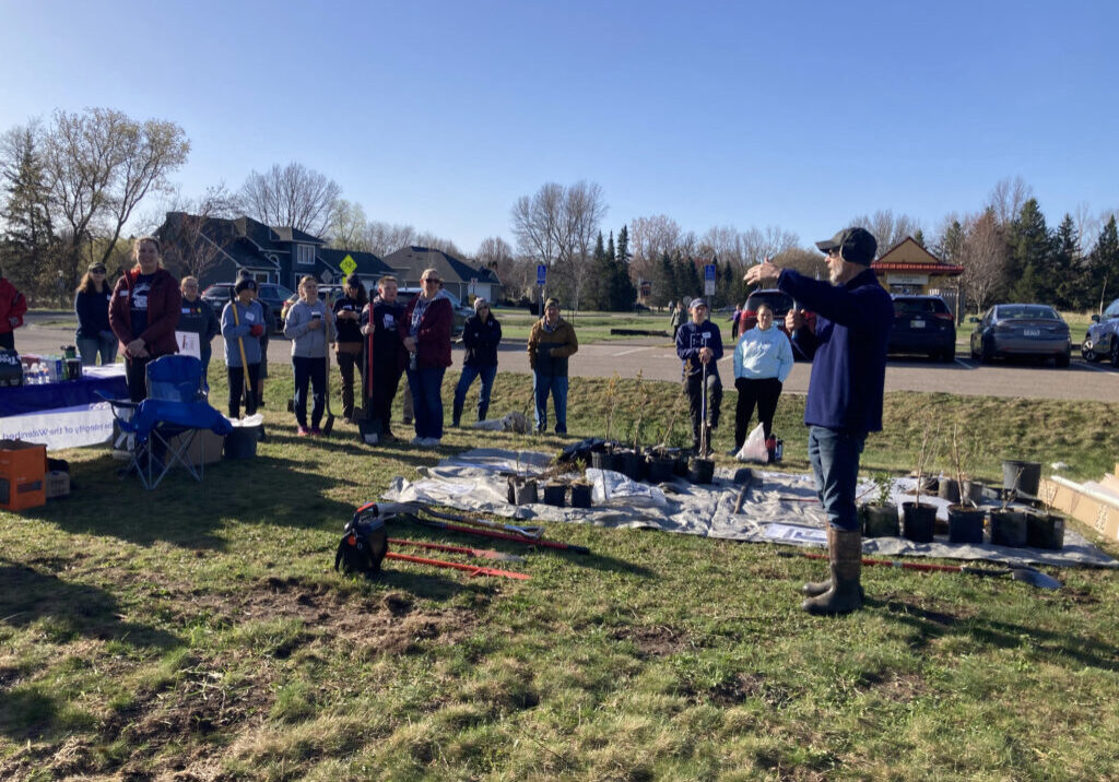
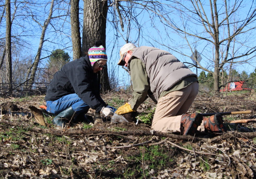
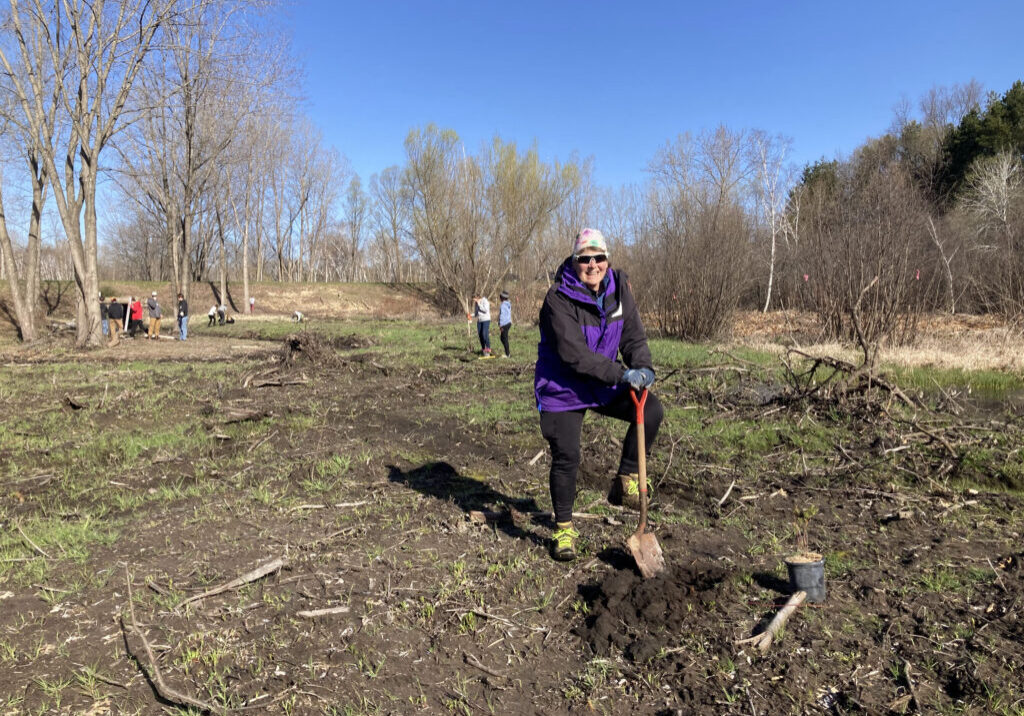
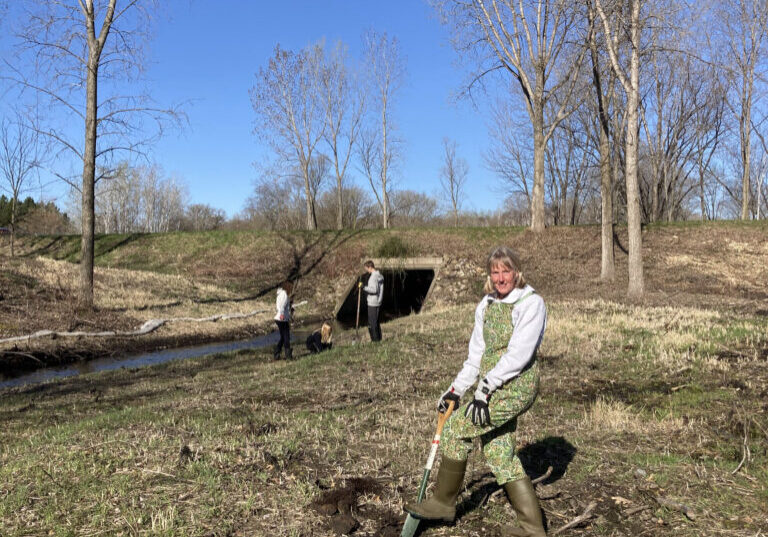
Thank you to more than 60 volunteers that helped plant over 200 native trees and shrubs to supplement native seed mixes over the restoration area on April 26, 2025! The trees are being protected by special tree tubes that allow filtered light into the tubes and protect the trees from being eaten by wildlife. These tubes will stay on for approximately three years (about the time the small trees will grow to the top of the tree tube).
Trees - bare root seedlings 12-18” tall (donated by City of Stillwater)
-
- Hackberry (Celtis occidentalis)– 25
- Basswood (Tilia Americana) - 50
- Bur oak (Quercus macrocarpa) – 25
- Tamarack (Larix laricina) – 25
- Swamp White Oak (Quercus bicolor)– 25
Shrubs – bare root seedlings 12-18” tall
-
- Common Chokecherry (Prunus virginiana) - 25
- Cranberrybush (Viburnum trilobum) - 25
- Red-osier Dogwood (Cornus sericea) - 25
Shrubs – 1-2 gallon containers
-
- American Black Currant (Ribes americanum) #2 Cont - 5
- Nannyberry Viburnum (Viburnum lentago) #2 Cont.- 5
- American Hazelnut (Corylus americana) #2 Cont. - 5
- Meadowsweet (Spiraea alba) #1 Cont. - 5
- Pussy Willow (Salix discolor) #1 Cont. - 5
Cost and Funding
The estimated total cost for the project (including engineering and construction) is $451,800.
- Watershed-wide levy $131,100
- Federal grant $320,700.
Of the total project cost $347,400 will be used for construction and $104,400 for planning, design, engineering, permitting, and construction oversight.
Timing
Updated Timing (as of May 2025):
- Concept Design & Order Project - September 2023
- Environment Assessment Worksheet (EAW)
- Permitting
- Project Bidding - Feb/March 2024
- Contracting - March/April 2024
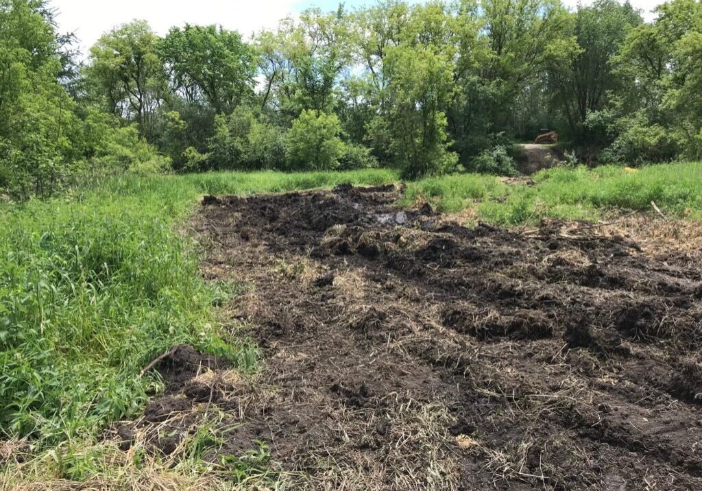
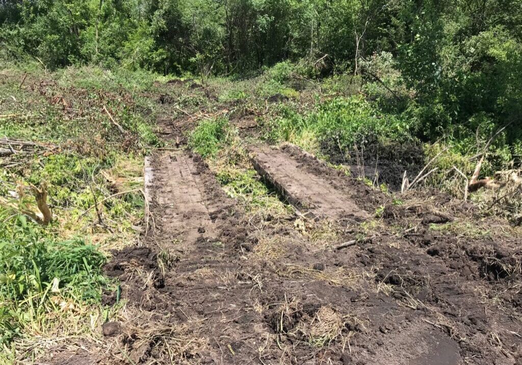
- Early June: (Delayed from mid-May due to recent rains) Mobilization, prepare site for Phase 1 construction (West of Neal Avenue), construction staking, confirm site utilities, equipment delivery, access paths, clearing & grubbing
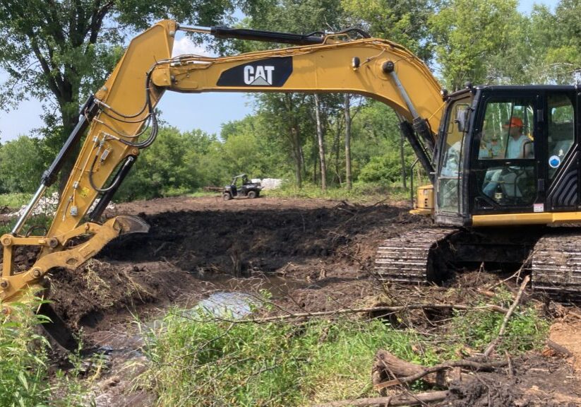
- June - August 2024: In-stream construction & restoration
- September 2024: Site restoration, final walkthrough, demobilization
- October 2024: watering (now we are in a drought!) and monitor site for vegetation establishment
- November 2024: complete buckthorn removal
- January 2025: additional 5-acres of buckthorn removal to east of project area added to project
- Spring 2025: Planting of native shrubs and trees
- Summer 2025: Construction of steps from Brown's Creek State Trail to the creek utilizing existing volunteer foot path near MN DNR bridge. Construction of ADA access and fishing area from Neal Avenue
This timing takes into account the limitations for working in a trout stream and avoiding impacts to the Northern long-eared bat.
Environmental Review (EAW) and Record of Decision
The Brown’s Creek Watershed District released an Environmental Assessment Worksheet (EAW) for the Brown’s Creek Restoration Project located in Stillwater, MN for review on November 8, 2023, held a public hearing December 13, 2023, accepted written comments until December 21, 2023. BCWD adopted a record of decision for the environmental review for the Brown's Creek Restoration Project and made a negative declaration on the need for an environmental impact statement on January 10, 2024.
- Brown's Creek Restoration Environmental Assessment (EAW) (final redacted for private archeological data)
- Browns Creek Restoration Project Environmental Review Record of Decision (BCWD Resolution 24-01 adopted 1-10-2024)
The trout stream restoration project will to address floodplain abandonment, accelerated bank erosion, invasive species, and degraded instream habitat to restore the ecological and hydrologic functions of the creek and adjacent floodplain. The project will include reconnecting the creek with the floodplain, installing grade control riffles to limit channel incision, installing woody material and boulders for instream habitat, removing woody invasive species, and reestablishing native riparian vegetation.
Permitting/Agreements
- MN Department of Natural Resources
- City of Stillwater
- Private Landowners
- US Army Corps of Engineers Permit - 2023-01442-BCB 20230104 NWP27
- US Fish & Wildlife Authorization for Tree Cutting (Northern Long-Eared Bats)
- Brown's Creek Watershed District -
- Compliance assessed with BCWD rules: Floodplain and drainage alterations, wetlands management, erosion and sediment control, shoreline and streambank improvements
- Minnesota Pollution Control Agency
Frequently Asked Questions
Where can I find more detailed information about the project:
- The EAW has a detail description of the project on page 8:
- BCWD proposes to enhance approximately 2,500 feet of stream along Brown’s Creek and reconnect several cutoff oxbow channels. The existing reach begins immediately south of McKusick Road and ends just downstream of the Brown’s Creek State Trail (Figure 3). The project will include earthwork to reconnect the creek with the floodplain (approximately 1 to 2.7 feet of cut depending on existing creek bank heights) and to reconnect several cutoff oxbow channels. Several new stream meanders will also be implemented to increase stream length and sinuosity to reestablish a natural meandering stream channel. The project will also include invasive tree and shrub harvest and installation of tree trunks, brush bundles, and rock riffles for fish and macroinvertebrate habitat.
- The figure to the right (Figure 4 in EAW) shows the proposed project elements. Grade-control riffles will emulate natural rock riffles and will be installed in the creek to increase the baseflow water elevation to restore riparian
 hydrology that has been impacted by channel incision. In general, earthwork and selective tree harvest will occur within 50 feet of the creek, but invasive shrub harvest is proposed up to 200 feet from the stream where dense stands of common and glossy buckthorn occur. Many of the trees and shrubs proposed to be harvested will be reincorporated into the project for bank stability and habitat features.
 - The project will also include the creation of an American Disabilities Act-compliant "spur" off Brown's Creek State Trail to improve public access to the creek.
- Construction site access will occur off McKusick Road and Neal Avenue. No alterations to existing infrastructure are proposed.
- Erosion control measures that will be implemented during project construction include installation of temporary sediment BMPs such as biologs and soil berms to capture surface soil erosion, and installation of both hydromulch and crimped straw mulch on all disturbed soils. All disturbed soils will be seeded with a cover crop (oats and winter wheat) and native state seed mixes based on land cover type. Erosion control measures will be installed prior to construction, and hydromulch and native seeding will occur immediately after final grading per the project Stormwater Pollution Prevention Plan.
- Construction Phasing:
1. Installation of erosion control BMPs
2. Initiate selective tree harvest and temporary stockpile of harvested wood
3. Bank grading and installation of grade control riffles and instream habitat
4. Installation of hydromulch and native seed to establish permanent vegetation
5. Removal of erosion control BMPs following establishment of native vegetation
June 2024
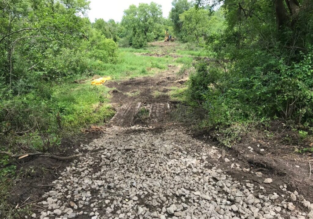
- Mobilization, Clearing, and Grubbing for Access Paths
July 2024
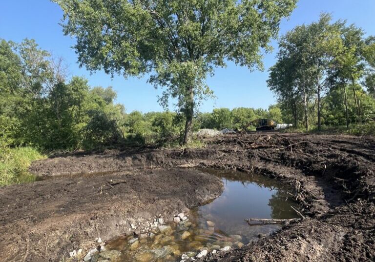
- July 11th - Construction begins on upstream portion between McKusick Road and Neal Ave in Brown's Creek Park
- July 12th - Riffle and pool taking shape in the new meander
August 2024
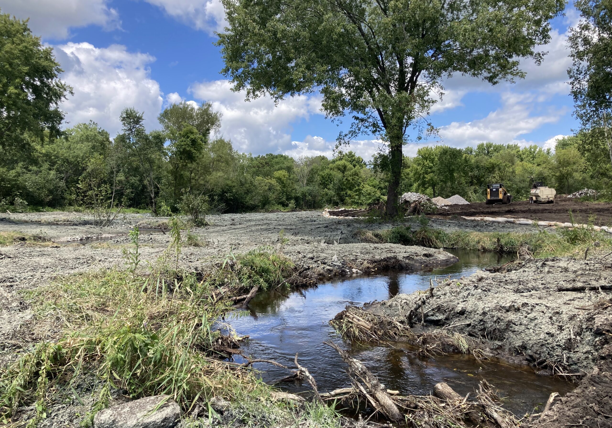
- August 9th - Area stabilized with seed and hydromulch. The new meander is stabilized with the trees and root wads and transplanted grasses from project area. Only weeks after the construction and the site is already turning green with plant life again. The temporary access bridge has been removed.
April 2025
- April 26th - Volunteers helped plant native trees and shrubs
May 2025
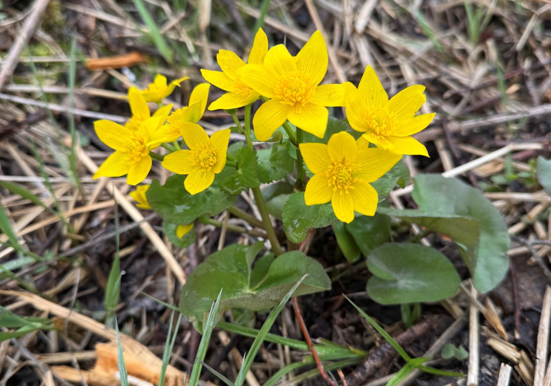
- Marsh marigolds are a native plant that are now blooming throughout the project area. These plants were being suppressed by the dense buckthorn, but their seed was just waiting from some light.

